
Product Description
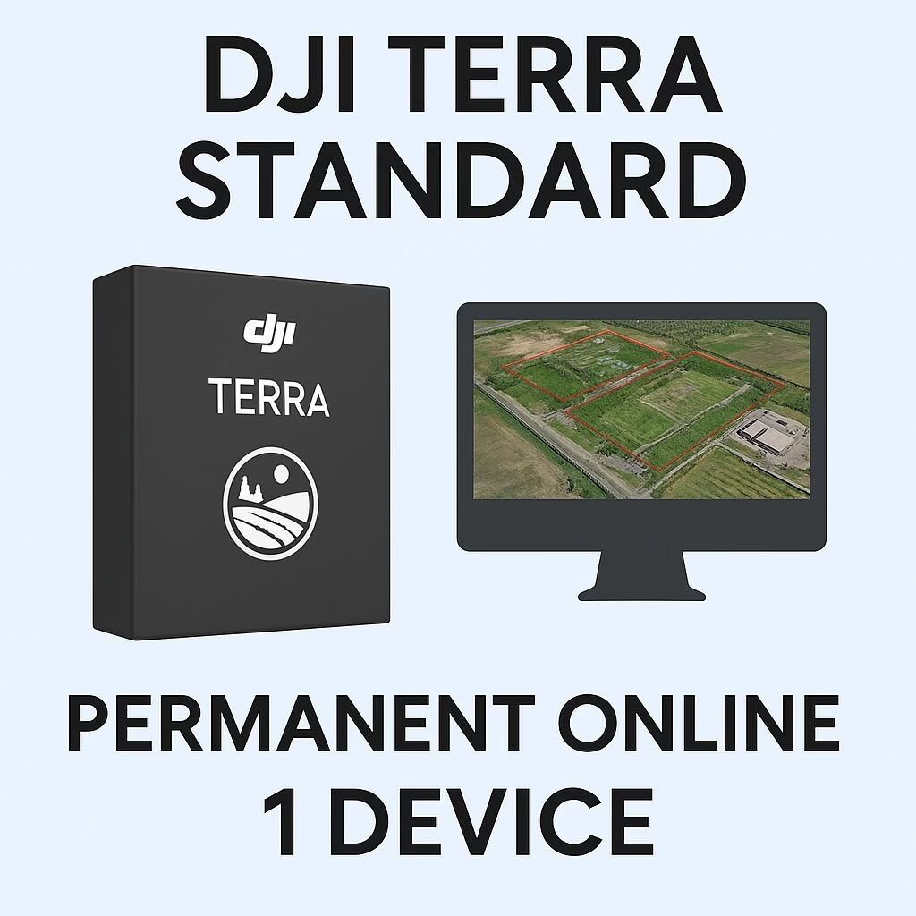
DJI Terra – Standard – Permanent Online 1 Device
Lifetime access to DJI’s flagship 3D mapping and reconstruction software—tied to one computer
Streamline your drone surveying and photogrammetric workflows with the DJI Terra Standard Permanent License, delivering indefinite usage on a single Windows machine. This online license brings unmatched flexibility and long-term value for professional mapping, surveying, and infrastructure visualisation tasks.
Core Features & Benefits
-
True Permanent License: No annual renewal fees. Access DJI Terra Standard indefinitely from the moment of activation.
-
Online License Mode: Requires internet connection during activation and occasional license verification. Functions offline for extended periods once bound.
-
Single Device Binding: Licensed for use on one Windows computer. You may unbind and transfer the license once per calendar year if hardware changes.
-
Full Function Access: Includes 2D photogrammetry, 3D mesh models, LiDAR point cloud processing, Gaussian splatting, mesh editing, point cloud editing, and more. Compatible with DJI Zenmuse L-series and P-series payloads.
Technical & Activation Details
-
Activation & Binding Process:
-
Activate license via DJI Terra or the online activation portal.
-
Bind to a DJI account and a single computer through the “Activated Licenses” menu.
-
License status appears as “Bound”; unbinding requests go through DJI Support.
-
-
Updates & Maintenance:
Free upgrades to new versions within one year of activation. Beyond that, software for version 5.0.0 and later receives updates at no extra cost. -
System Requirements:
-
Windows 10 or newer (64-bit)
-
Minimum: 32 GB RAM, NVIDIA GPU with ≥ 4 GB VRAM and CUDA compute capability 6.1 or higher
-
Ideal For:
-
Drone-based land surveying, topographic mapping, and orthomosaic generation
-
Utilities, infrastructure, construction, and asset inspection workflows
-
3D modelling from visible imagery and Zenmuse LiDAR sensor integration
-
Real-time 2D/3D outputs during flight missions (supported on Phantom 4 RTK series)
-
Users seeking long-term software ownership without subscription costs
✅ License Advantages for Drone Shop Perth Clients
-
Single-binding convenience — ideal for users with dedicated mapping workstations
-
Cost-effective long-term access — no recurring charges or license expiration
-
Seamless DJI ecosystem integration — supports DJI M300/350, Matrice 4, Mavic Enterprise, Phantom 4 RTK, Zenmuse L-series/P-series and more.
-
Supports full photogrammetric workflow—from mission planning to advanced model editing