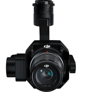

Product Description
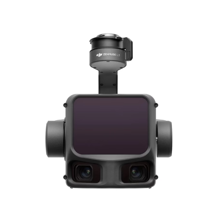
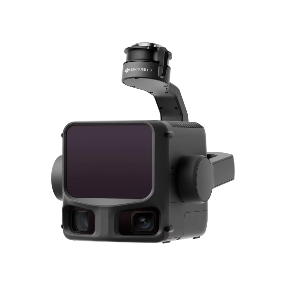
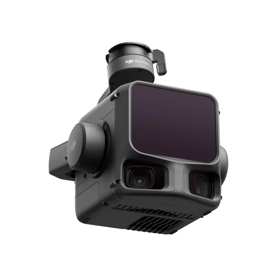
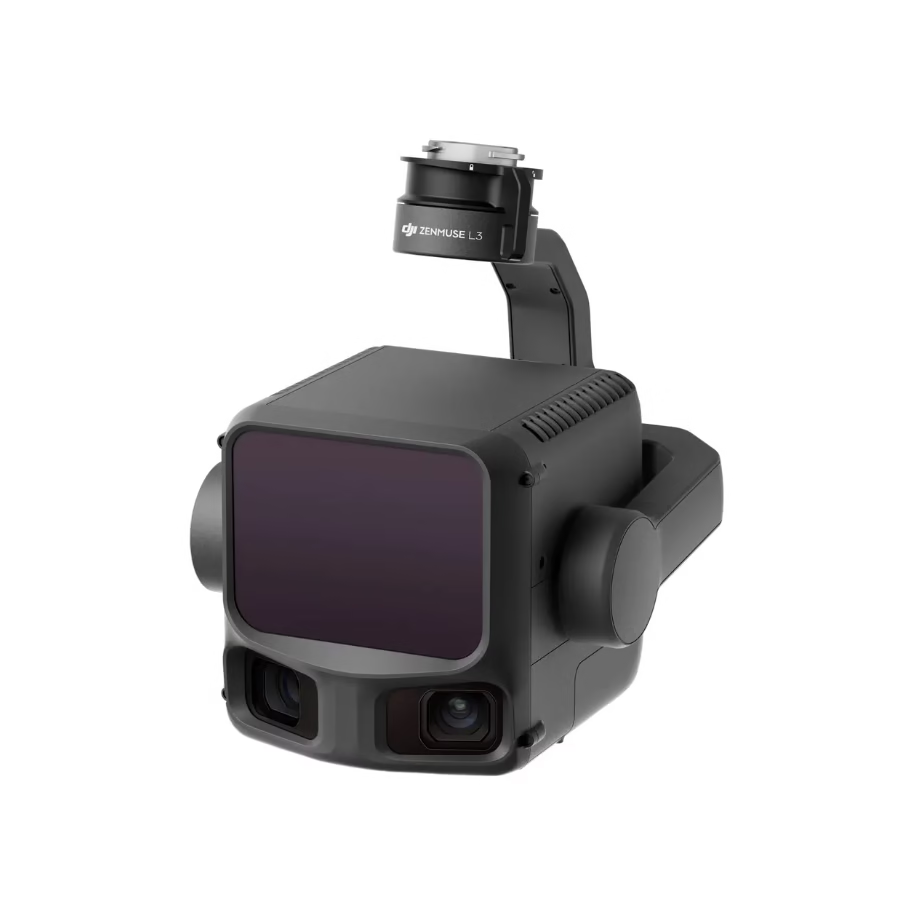
DJI Zenmuse L3 – Premium LiDAR + Dual-100 MP RGB Payload
With DJI Care Enterprise Plus (auto-activated)
Overview
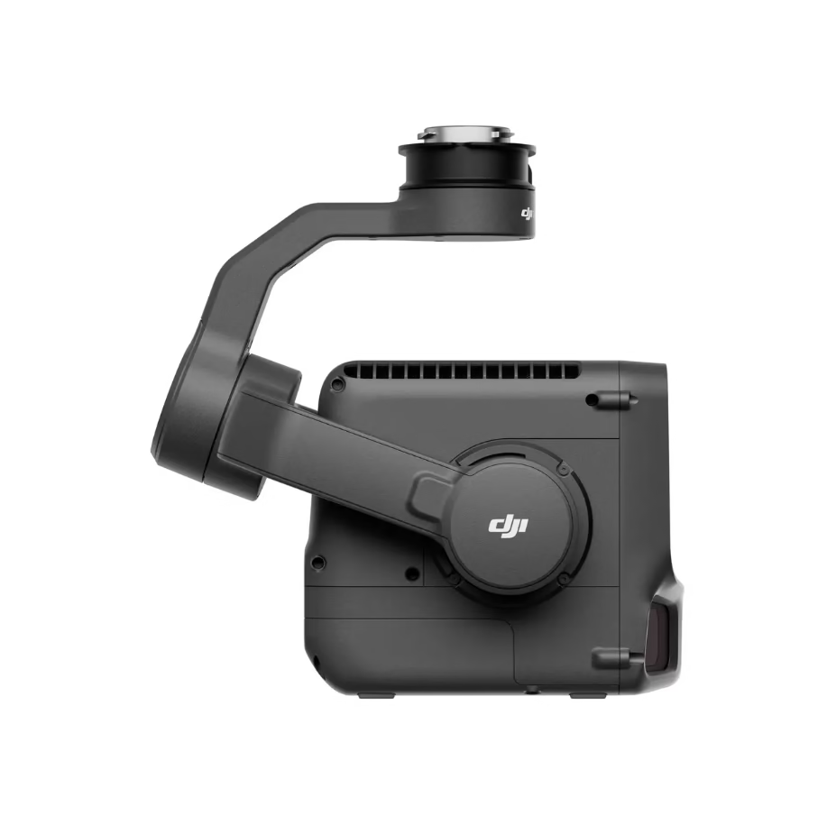
Elevate your enterprise mapping, surveying and inspection capability with the Zenmuse L3 — a next-generation aerial LiDAR payload from DJI, built for large-scale, high-precision operations. With a long-range 1535 nm LiDAR sensor, dual 100 MP RGB cameras, a high-precision POS system and 3-axis gimbal all packed into a robust module, the L3 re-defines what’s possible in aerial geospatial capture.
By choosing the package with DJI Care Enterprise Plus already activated, your fleet receives enterprise-grade protection from day one—coverage for accidental damage, unlimited replacements (within coverage limits) and shared support across multiple units.
Key Features & Benefits
Long-Range LiDAR
-
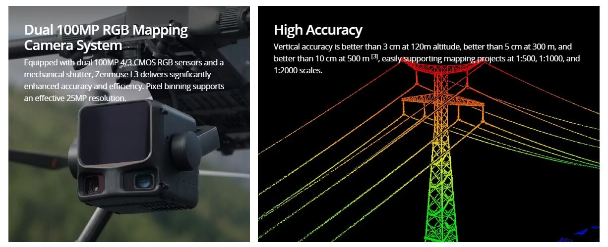
1535 nm laser technology with a detection range up to ~950 m on 10% reflectivity targets.
-
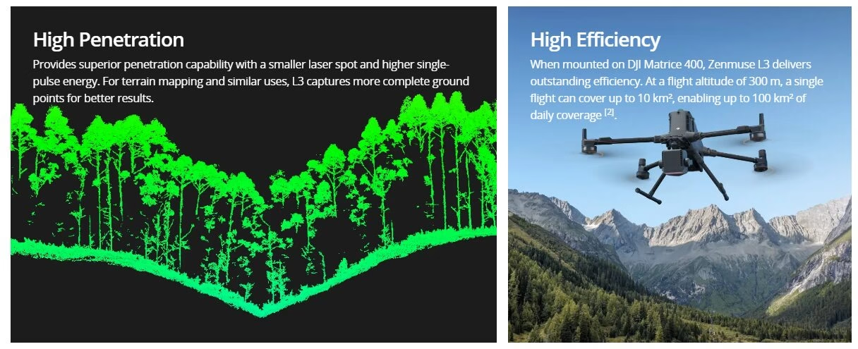
Up to 16 returns per pulse for dense data through vegetation/complex structure.
-
Wide 80° field-of-view and scanning at altitudes up to ~500 m for greater area coverage.
-
High mapping speeds (optimal ~17 m/s, max ~25 m/s) for efficient flight-lines.
Dual 100MP RGB Cameras
-
Twin 100 MP Micro Four-Thirds (M4/3) sensors with mechanical shutters provide ultra-high-resolution ortho imagery and true-colour point clouds.
-
Ground Sample Distance (GSD) down to ~3 cm at 300 m altitude in nadir flight.
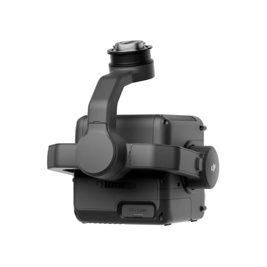
Robust Design & Enterprise Grade Integration
-
Weight: ~1.60 kg (without gimbal connector) and dimensions 192×162×202 mm – compact for a high-end payload.
-
Power consumption: Typical ~64 W, Max ~100 W.
-
Environmental rating IP54; operating temperature range –20 °C to +50 °C.
-
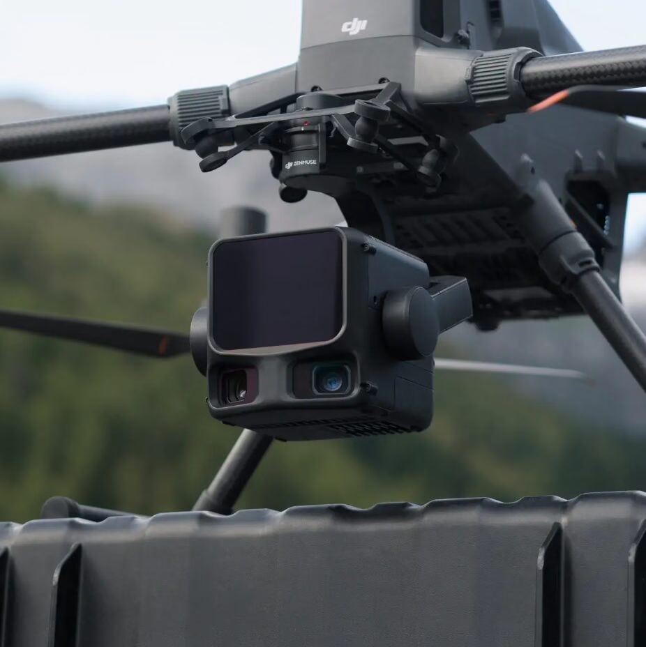
Compatible with DJI’s Matrice 400 series (with appropriate gimbal connector) — ideal for large survey platforms.
Enterprise-Grade Protection – DJI Care Enterprise Plus
-
Automatically activated at purchase — no separate enrolment required.
-
Unlimited replacements (within coverage limits) for accidental damage, including collision, signal interference and water-submersion.
-
Shared coverage across your fleet of units helps simplify risk-management.
Applications
-
Large-scale aerial surveying: infrastructure corridors, mining operations, forestry canopy and terrain modelling.
-
Asset inspection & monitoring: power-lines, pipelines, rail/road networks, ports and urban environments.
-
Geospatial & mapping projects: orthophoto, DEM/DTM generation, point cloud deliverables, 3D mesh creation.
-
Emergency services / public sector: wide-area mapping support for transport & utilities, disaster response, flood modelling, vegetation/asset monitoring.
Why Buy from Drone Shop Perth?
-
Local Western Australian support and service — direct access to expertise and spares.
-
Official DJI Enterprise Partner – genuine warranty and service chain.
-
Tailored bundle options available: sensors + mounting accessories + flight planning software + service plans.
-
Competitive pricing and flexible commercial terms for government / corporate / utility clients.
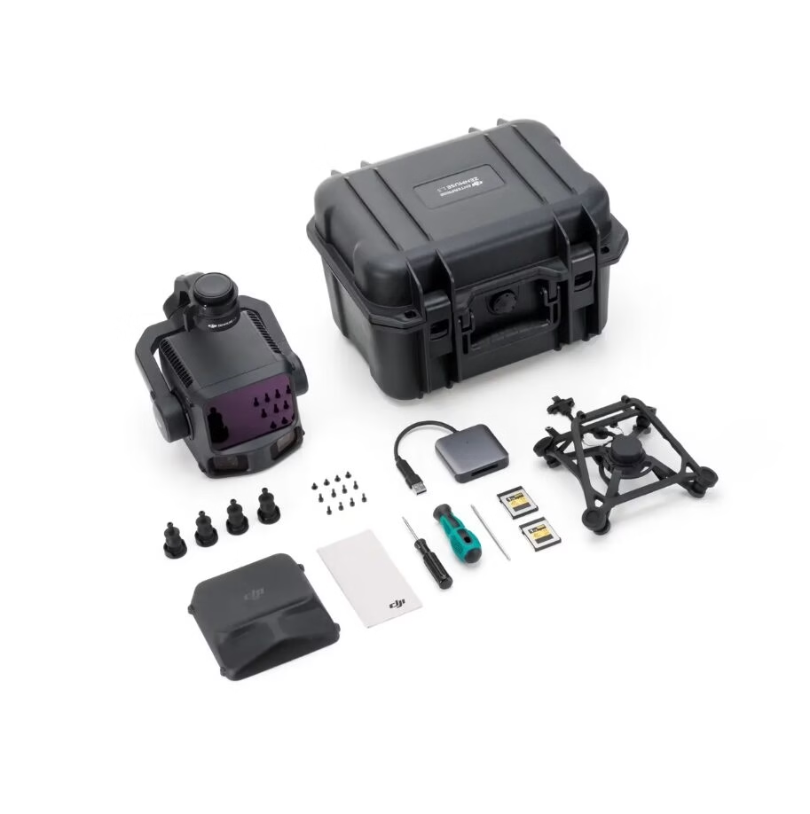
What’s in the Box
-
DJI Zenmuse L3 payload unit
-
Single gimbal connector (if required for your platform)
-
Mounting hardware and cables
-
Quick Start Guide
-
DJI Care Enterprise Plus protection (activated)
-
Access to DJI’s enterprise-software ecosystem (e.g., DJI Terra support)
Technical Specifications (Selected)
| Spec | Value |
|---|---|
| Weight (payload only) | ~1.60 kg (without gimbal connector) |
| Dimensions | 192 × 162 × 202 mm |
| Typical Power | ~64 W |
| Max Power | ~100 W |
| Ingress Protection | IP54 |
| Operating Temperature | –20 °C to +50 °C |
Ordering & Commercial Terms
-
Price and availability may be subject to change — contact us for the latest info and tailored quotes.
-
Bundles available for multiple-unit purchases; ask about volume discounts (10+ units).
-
Note platform compatibility: please ensure your drone/airframe is certified for the payload mass and power draw of the L3.