Product Description
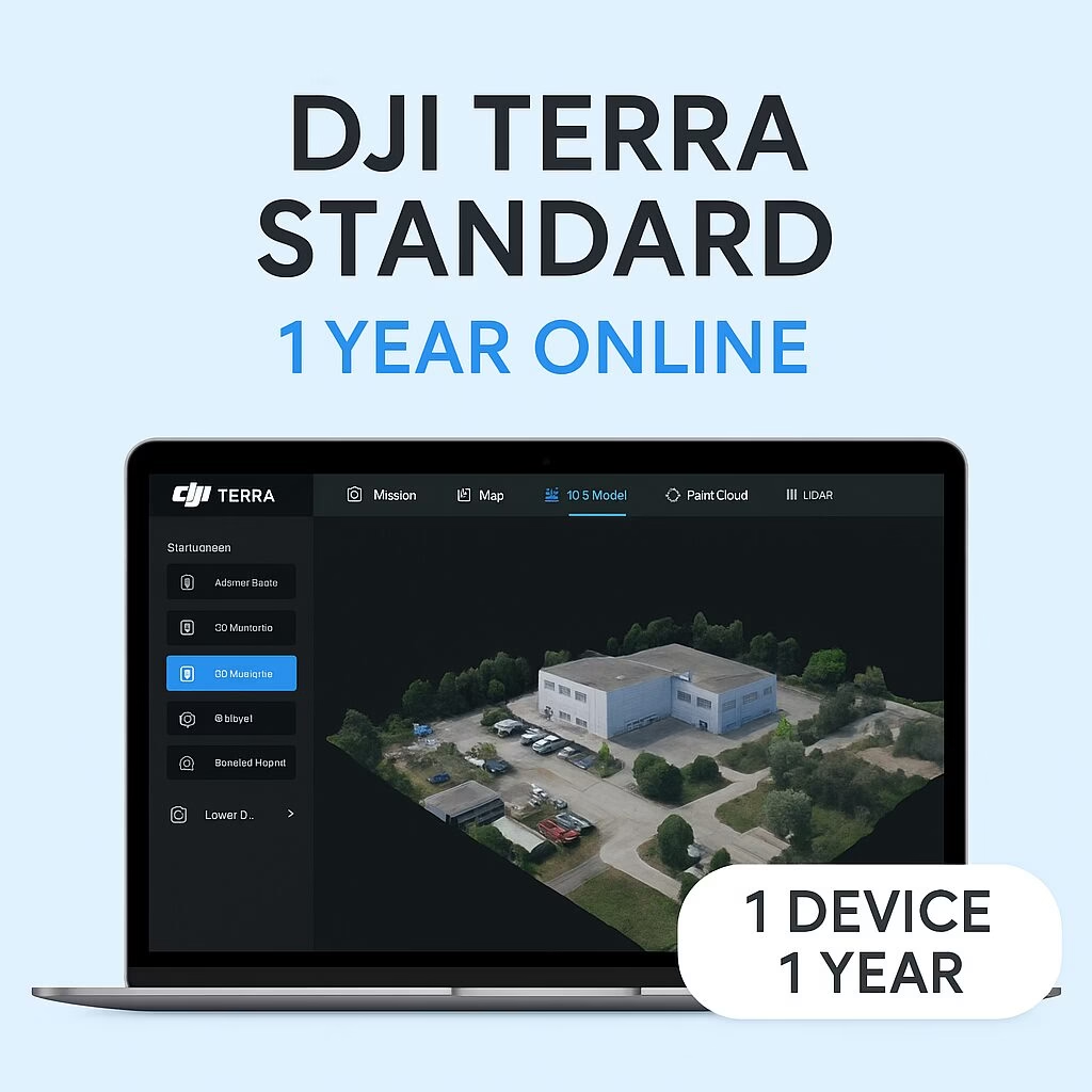
DJI Terra Standard – 1 Year Online License (1 Device)
Access full mapping and reconstruction tools on one computer for a fixed annual fee
Perfect for surveyors, construction inspectors, infrastructure teams, and professionals needing precision aerial data, this license provides powerful features on a single Windows machine.
Key Features & Benefits
-
One-Year License: Fully featured DJI Terra Standard access for 365 days from activation.
-
Single Device Binding: License linked to one computer. You may request one unbinding per calendar year if hardware changes are needed.
-
Internet Required: Requires online activation and periodic license validation. After logging in, paid features remain usable offline for up to 3 days.
-
Comprehensive Mapping Tools: Includes 2D & 3D photogrammetry, point cloud reconstruction, LiDAR support, and Gaussian Splatting. Compatible with DJI Zenmuse and Phantom drones.
Technical & Activation Details
-
Activation & Binding Steps:
-
Launch DJI Terra, navigate to User Center → Activate License or visit license.dji.com.
-
Enter the activation code and DJI account details, then “Bind” to your workstation.
-
-
Update Policy:
Free upgrades included for up to one year from activation. After this, continued access to new versions requires the purchase of annual update fees.
System Requirements
-
Operating System: Windows 10 or newer (64-bit)
-
RAM: Minimum 32 GB (64 GB+ recommended for large datasets)
-
Graphics: NVIDIA GPU with ≥4 GB VRAM and CUDA compute capability 6.1+ (e.g., RTX 2070)
✅ Ideal For:
-
Reconstructions for land surveying, construction, mining, utilities, and inspection workflows
-
Drone-to-map processing workflows with DJI Matrice, Mavic, Phantom, or Zenmuse LiDAR payloads
-
Teams requiring accurate 3D models, orthomosaics, and inspection planning without long-term software invoices


