Product Description
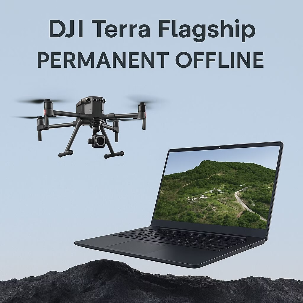
DJI Terra Flagship – Permanent Offline License (1 Device)
Advanced lifetime mapping and 3D modelling software—fully offline and bound to one workstation
Unlock the full capabilities of DJI Terra Flagship for in-field, secure environments. Ideal where internet access is restricted—this license delivers all flagship features offline on a single device.
Flagship Highlights
-
Gaussian Splatting for photorealistic 3D models from visible imagery
-
LiDAR Fusion & True-Colour Point Cloud Processing with Zenmuse P1/L2 payloads
-
Electricity Mapping Tools for powerline, transmission corridor, and infrastructure modelling
-
Full 2D orthophoto & 3D mesh reconstruction—compatible with drones like Matrice 4E, M350/M300 RTK, and D-RTK 3 systems
Offline Activation Workflow
-
Install DJI Terra and CodeMeter Runtime
-
Generate a license request (.WibuCmRaC) on the target computer
-
Upload request to DJI’s License Exchange portal with your unique code, receive authorisation file via email
-
Import license into DJI Terra via Offline Login
-
Licence bound permanently—do not change CPU, motherboard, or OS afterwards or the license will be invalidated
⚠️ Function Limitations in Offline Mode
-
GEO Zone Unlocking, live map loading, and location search are unavailable
-
Flight mission execution restricted: up to 30 m altitude and 50 m distance limit when operating without login to DJI account
–Note: For Phantom 4 RTK/Pro V2.0 with built-in controllers, offline login limitations may be bypassed
System Requirements
-
Operating System: Windows 10 or newer (64-bit)
-
RAM: Minimum 32 GB (64 GB+ recommended for large datasets)
-
GPU: NVIDIA graphics card with ≥ 4 GB VRAM and compute capability ≥ 6.1 (e.g., RTX 2070 or above)
Ideal For:
-
Surveying, infrastructure, utility inspection, and energy corridor mapping in remote or secure sites
-
Government, defence, mining, or regulated environments needing offline-only processing
-
Professionals requiring full-featured 3D reconstruction, mesh editing, and inspection workflows—without internet dependency
✅ License Comparison
| Feature | Details |
|---|---|
| License | Permanent, non-expiring |
| Device Binding | Licensed to one PC |
| Unbinding Allowed | Once per calendar year |
| Offline Activation | Yes, via license exchange |
| Restricted Online Features | GEO zones, map search, height caps |
| Full Flagship Features Offline | Yes (mesh editing, LiDAR, splatting) |


